Exploring the Evolution of Google Maps for Cyclists: Triumphs and Challenges
January 4, 2024 - Reading time: 3 minutes
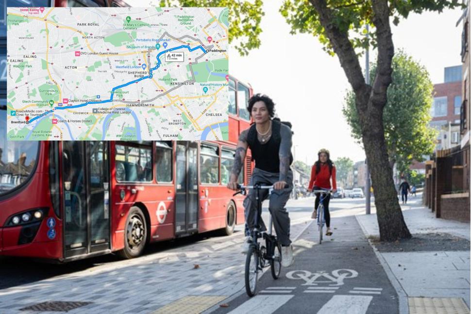
In the realm of urban cycling, the quest for an ideal navigation tool has been ongoing, with Google Maps often at the forefront. However, recent modifications have sparked a mix of reactions among cyclists, especially regarding the app's effectiveness in delineating bike routes from regular roads. The recent integration of dedicated cycling infrastructure in collaboration with Transport for London (TfL) marks a significant stride, yet it also opens up discussions on the complexities of digital navigation for cyclists.
The Integration with Transport for London
TfL's collaboration with Google represents a notable advance in cycling navigation. Aimed at offering cyclists less congested routes equipped with dedicated cycling infrastructure, this partnership is seen as a potential game-changer for urban cyclists. The update prioritizes safer, quieter streets, enhancing the visibility of these routes in Google Maps. This development has been keenly observed by cycling enthusiasts and urban planners alike.
A cyclist, reflecting on these changes, remarked, "The updated Google Maps now makes it easier to spot safer cycling routes. It's a step forward in encouraging more people to choose bikes over cars for their daily commute."
The Need for Accurate Digital Mapping
Despite these advances, cyclists have expressed concerns over digital journey planners' limitations. Many point out that while over 340 kilometers of cycle routes exist in London, these are not always accurately reflected in digital maps, leading to less than optimal route suggestions. The integration with TfL aims to rectify this by incorporating real-time data and user feedback.
Alex Cole-Hamilton, a health spokesperson, emphasizes the importance of this development: "Cycling in urban areas is not just about getting from A to B. It's about safety, ease, and accessibility. Integrating up-to-date data into Google Maps is crucial for providing cyclists with the best possible routes."
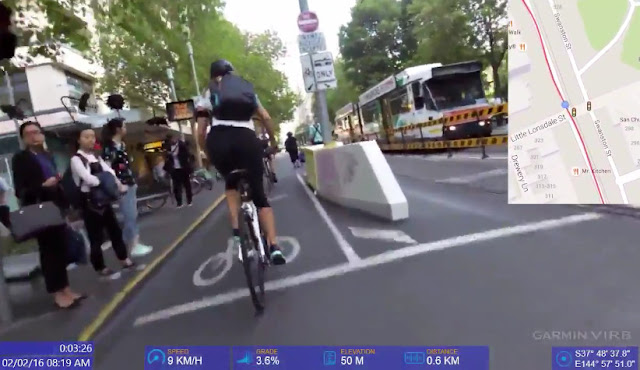
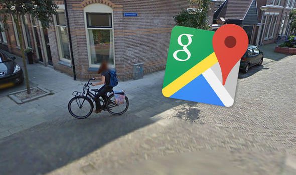
The Challenges of Digital Navigation for Cyclists
Despite technological advancements, digital navigation for cyclists remains fraught with challenges. Google's efforts to delineate bike lanes and low-traffic areas have not been uniformly successful. In some areas, cyclists are still directed onto busy roads or through under-construction zones, highlighting the need for continuous improvement and local knowledge integration.
A survey among cyclists revealed mixed opinions about the effectiveness of various navigation tools, including Google Maps. Many expressed concerns about being directed onto unsuitable paths or high-traffic areas, underscoring the need for more nuanced and context-sensitive routing algorithms.
The Future of Cycling Navigation
Looking ahead, the partnership between Google and TfL represents a significant step towards more cyclist-friendly urban navigation. However, it also highlights the complexity of creating a one-size-fits-all solution for urban cycling. The varied needs of cyclists, the patchiness of cycle paths, and the dynamic nature of city streets all contribute to the ongoing challenge of developing effective digital navigation tools for cyclists.
As urban cycling continues to gain popularity, the need for accurate, reliable, and user-friendly navigation tools becomes increasingly apparent. The collaboration between TfL and tech giants like Google is a promising sign of progress, but there is still a long road ahead in achieving the ideal blend of digital guidance and real-world practicality for urban cyclists.

DW Staff
David Lintott is the Editor-in-Chief, leading our team of talented freelance journalists. He specializes in covering culture, sport, and society. Originally from the decaying seaside town of Eastbourne, he attributes his insightful world-weariness to his roots in this unique setting.
You may also like

The Promise and Pitfalls of Ad Personalization
Ad personalization, also known as interest-based or behavioral advertising, refers to the practice of companies tracking users' online behavior, such as websites visited and content viewed, in order to serve tailored ads specific to their inferred interests.

Disney Invests $1.5 Billion in Epic Games to Create New Content and Entertainment Universe
The partnership between these two giants aims to create new games and an entertainment universe where consumers can engage with content from various sources such as Disney, Pixar, Marvel, Star Wars, Avatar, and more.

George Carlin Estate Sues Over Fake Comedy Special Generated by AI Technology
The estate of the late comedian George Carlin is taking legal action against a media company that has produced an hour-long comedy special using artificial intelligence (AI) to recreate his style and material.

AI Takes Center Stage at Davos, But Practical Applications Remain Elusive
In Davos, Switzerland, at the prestigious World Economic Forum, the buzzword is unmistakably AI - artificial intelligence. The town's main promenade is adorned with banners extolling AI's potential, yet there's a palpable sense of struggle among executives about turning AI's theoretical promise into tangible economic benefits.
TurboTax: A Tale of Deceptive Advertising and Corporate Defiance
TurboTax, a household name in tax preparation software, finds itself mired in controversy. Owned by Intuit, a company embroiled in increased lobbying amidst scrutiny, TurboTax has recently been banned by the U.S. Federal Trade Commission (FTC) from advertising its services as "free" unless they genuinely are.